Drones: method
Flying a dtrone at Sea Lion Island is somehow different from flying it in a more civilized place. The island shelters a lot of wildlife, and is a National Nature Reserve. To fly a drone at close distance from wildlife we apply every year to the Environmental Department of the Falkland Islands Government to get a research licence. We fly our drones not only in full respect of regulation, but also in accordance with our very long experience of Sea Lion Island wildlife.
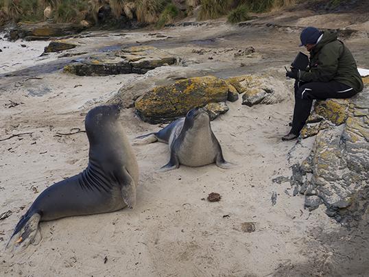
Weaned elephant seal pups are very curious, and they often wish to investigate about us flying drones, and the the drones themselves !
We are using simple and cheap hardware and software to use drones to generate useful scientific and environmental information. We are flying two low cost semi-pro drones from DJI, the old Phantom III and the newer Mavic Pro. Both have average quality cameras that can take decent quality photos and videos. Photos are processed using Agisoft Metashape, a low cost commercial software which algorithms are base on the Structure-from-Motion idea. Metashape can use drone imagery to generate a 3D model of the object of the pictures, and from the model can generate an orthophoto, that is to say an image that is georefenced and rectified according to a specific coordinate system, and a digital elevantion model (DEM).
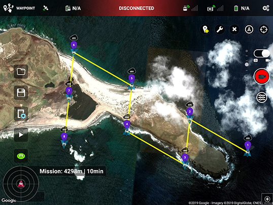
The more the photos, and the bigger the overlap, the better the model and resulting products. On the other hand, more photos mean more flying time, and drones are strongly constrained by the battery durantion, thst is very limited (15-25 mibutes of actual flying time). Therefore, we need to careffully plan and carry out our mapping drone mission. To do that, we run mission planning software, that automatically "drives" the drone to optimize the photos taken during each flight.

A sample screenshot of the mission planning software, for a mapping mission of the East Point of Sea Lion Island
For more information please contact us by email at fil_esrg@eleseal.org. Thank you for your interest in our research projects !

